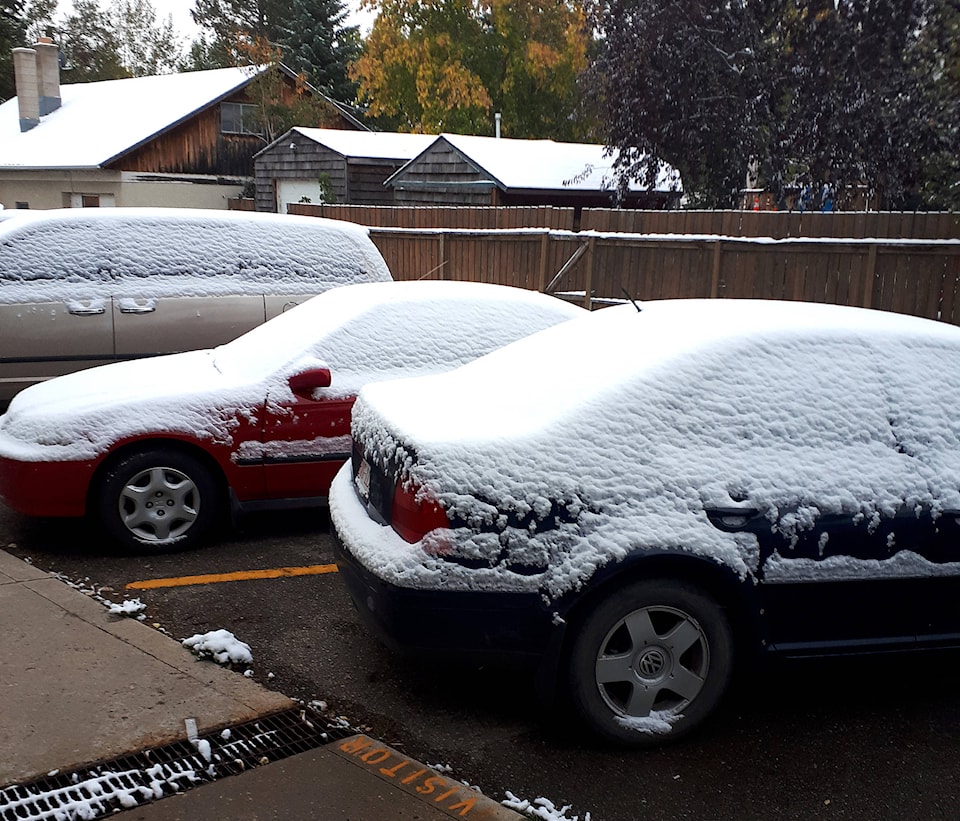
Winter seems to have come early in the Sylvan Lake area. Lakers woke up Thursday morning to a fresh coat of snow clinging to the ground and vehicles, making the morning commute just a little longer.
Environment Canada is expecting two to four centimetres of snow to fall over the next 24 hours. Meteorologists say there is a 60 per cent chance of the snowy flurries to pick up overnight.
The snow is expected to give away to wet, as temperatures will remain low, but the snow will shift into rain throughout the weekend.
With a daytime high of only 5C on Thursday, temperatures are well below seasonal. The normal daytime average for Sept. 13 in 17C according to Environment Canada.
However, temperatures experienced on Thursday are not the coldest recorded for this time of year. The coldest recorded temperature for Sept. 14 in -7.2C, recorded back in 1970.